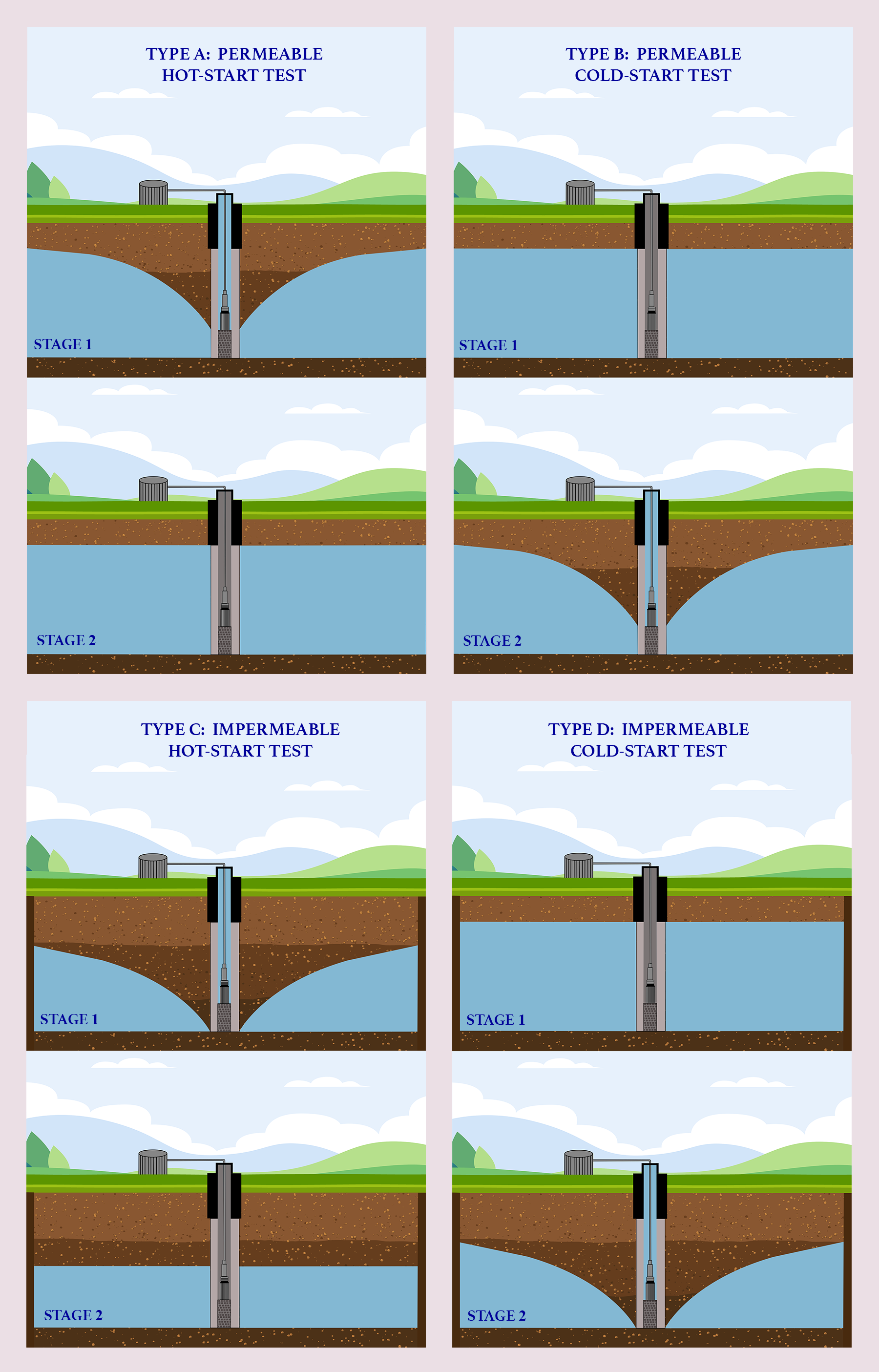
Model Description Sample Input Sample Output Reference
[Leave blank to specify default model as Type A]
Space interval ds [m] :
[Leave blank to specify default value ds = 100 m.]
Number of grid intervals (x or y) nz :
[Leave blank to specify default value nz = 100.]
Percolation from rainfall R [mm/year] :
[Leave blank to specify default value R = 0 mm/year.]
Percolation from irrigation I [mm/year] :
[Leave blank to specify default value I = 0 mm/year.]
Left location indicator for percolation from irrigation irrleft :
[Leave blank to specify default value irrleft = 25.]
Right location indicator for percolation from irrigation irrright :
[Leave blank to specify default value irrright = 75.]
Transmissivity T [m2/s] :
[Leave blank to specify default value T = 0.01 m2/s.]
Specific yield S :
[Leave blank to specify default value S = 0.1.]
Reference aquifer elevation href [m]:
[Leave blank to specify default value href = 500 m.]
Simulation time dt [years]:
[Leave blank to specify default value dt = 20 years.]
Printing interval tpd [days]:
[Leave blank to specify default value tpd = 30.4375 days (1 effective month).]
For model type A and C:
Left location indicator for reference depletion locleft :
[Leave blank to specify default value locleft = 25.]
Right location indicator for reference depletion locright :
[Leave blank to specify default value locright = 75.]
Reference depletion elevation hdref [m]:
[Leave blank to specify default value hdref = 400 m.]
For model type B and D:
Pumping rate P [L/s] :
[Leave blank to specify default value P = 250 L/s.]
OUTPUT: